
ULS Land Surveying provides precision boundary, topographic, ALTA, and construction staking services.
Accurate construction begins with accurate layout. Utah Land Surveying provides professional construction staking services that help contractors, builders, developers, engineers, and project teams transfer approved plans into clear, usable reference points on the jobsite.
Construction staking is the process of transferring dimensions, alignments, elevations, and locations from engineering or architectural plans onto the physical jobsite. Surveyors establish visible reference points that contractors can use to determine exactly where structures, utilities, roads, grading features, and other improvements should be built.
In simple terms, construction staking connects the design phase with the building phase. The plans show where improvements belong, and the surveyor translates those plans into measured points in the field so crews can work from established locations instead of estimates or assumptions.
Depending on the project, staking may be needed before excavation begins and again during later phases of construction. Foundations, utilities, curb and gutter, roadways, retaining walls, drainage systems, building pads, and other site features may each require their own layout.
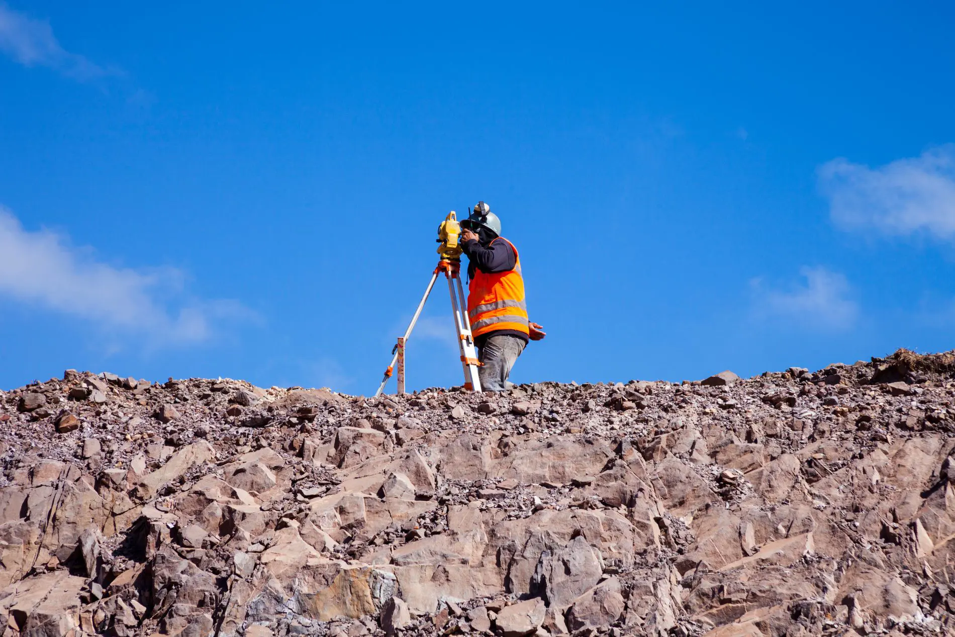
The staking scope depends on the project plans and construction sequence. Accurate layout gives crews dependable points for building, excavation, grading, utility installation, and other site work.
Establish building corners, foundation lines, offsets, column locations, and other structural reference points shown on the construction plans.
Provide elevation and slope references that help excavation and grading crews shape the site according to the approved design.
Stake planned utility alignments, structures, connections, and related improvements so installation follows the intended route and location.
Establish road centerlines, curb and gutter locations, pavement limits, and other transportation-related features.
Support placement of retaining walls, sidewalks, parking areas, drainage improvements, access features, and other designed site elements.
Provide reliable field control and offset points that contractors can use as construction progresses across multiple phases.
Construction staking becomes especially important whenever a project depends on precise placement, alignment, or elevation. Establishing accurate field points before major work begins can help prevent mistakes that become much more expensive to correct later.
Useful for new homes, additions, garages, foundations, driveways, retaining walls, and other improvements where exact placement matters.
Supports building placement, parking areas, utilities, access routes, grading, and other improvements on commercial sites.
Provides field layout for roads, curbs, drainage systems, utilities, and other civil or infrastructure improvements.
Helps earthwork crews follow planned elevations, slopes, building pad heights, and other grading requirements.
Construction staking combines plan review, survey control, precise field measurement, and coordination with the project schedule. Each phase is intended to give crews clear reference points they can use in the field.
We begin by reviewing the project scope, required staking, construction sequence, and anticipated timing.
Our team reviews the available construction, engineering, and site plans to identify dimensions, alignments, elevations, and layout requirements.
Horizontal and vertical control is established or verified to create a dependable reference framework for the project.
Professional surveying equipment is used to place the necessary stakes, points, offsets, lines, and elevations on the site.
Layout information is checked against the project control and provided plans to help maintain consistency before construction proceeds.
Follow-up staking can be completed as the job advances through foundations, utilities, grading, paving, and final site improvements.
A small layout error can become a large construction problem once excavation, concrete, utilities, paving, or framing are underway. Accurate staking helps reduce that risk by giving crews measurable reference points before costly work is completed.
Good staking can also support smoother project coordination. Contractors, engineers, and subcontractors are able to work from the same planned geometry, helping reduce confusion and unnecessary field adjustments.
GPS equipment, robotic total stations, digital data collection, and survey control support accurate field positioning.
Staking is developed from the project plans, dimensions, elevations, alignments, and established survey control.
Clear communication helps align staking visits with excavation, utilities, foundations, grading, and other construction phases.
Accurate initial layout helps lower the chance that construction must later be moved, rebuilt, or corrected.
Construction staking pricing depends on the amount of layout required, the complexity of the plans, site conditions, project schedule, and how many separate staking visits are needed as construction progresses.
Construction staking involves more than simply putting markers in the ground. These answers explain how layout, plan review, field conditions, and project sequencing can affect the work.
Accurate layout can reduce avoidable placement errors involving structures, grades, and utilities. While it cannot prevent every project change, it can help limit corrections caused by incorrect field layout.
Field staking can reveal differences between design information and existing site conditions. When conflicts are found, the issue can be communicated to the project team for clarification before affected work continues.
No. Residential construction, additions, site walls, utilities, grading, paving, and smaller development projects can all require accurate field layout.
Yes. Grade staking helps crews follow intended elevations and slopes. Proper grading can directly affect drainage direction, runoff, building pads, and long-term site performance.
Professional surveyors use established control, precision measurements, and specialized equipment to transfer plan information into reliable field locations, especially where tolerances and elevations matter.
Often, yes. Many projects require separate staking phases for excavation, foundations, utilities, grading, curb, pavement, or other improvements as construction moves forward.
Whether you are preparing a residential build, commercial project, development site, roadway, utility installation, or grading operation, professional construction staking helps turn project plans into accurate field locations. Contact Utah Land Surveying today to discuss your project and request a quote.
Request Construction Staking Quote