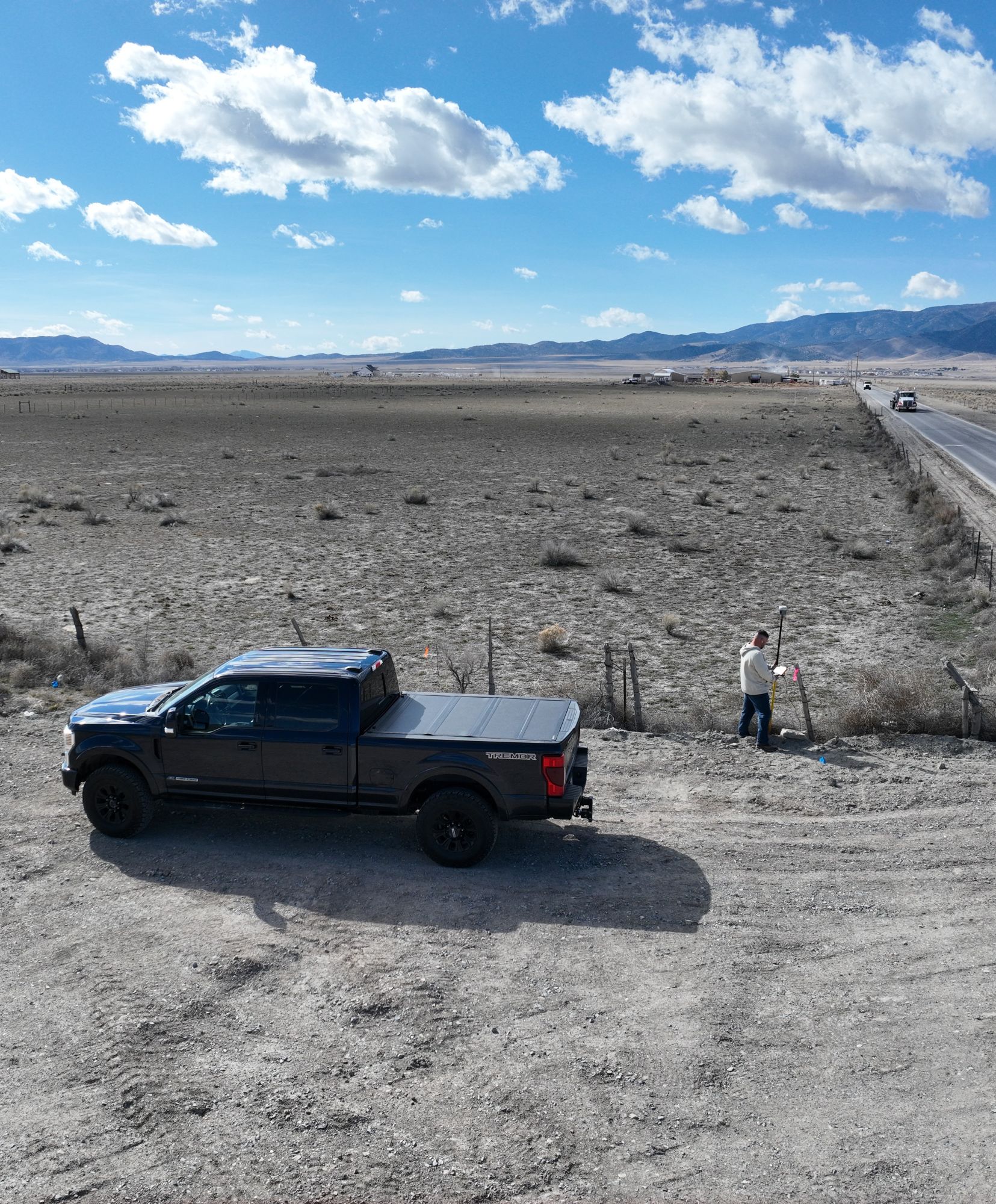
ULS Land Surveying provides precision boundary, topographic, ALTA, and construction staking services.
We bring clarity to every project through precise measurements, detailed mapping, and dependable results you can trust from start to finish.
At ULS, we deliver dependable land surveying and mapping solutions backed by experience, advanced technology, and a commitment to accuracy. From residential boundaries to complex construction staking, we help projects move forward with confidence.

With a commitment to precision and clear communication, ULS partners with property owners, developers, and contractors to ensure projects are completed accurately and efficiently.
Learn More About Our CompanyFrom boundary verification to complex construction staking, ULS delivers accurate, dependable surveying solutions backed by experience and advanced technology.
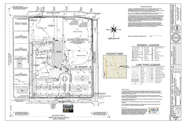
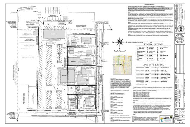
Comprehensive ALTA/NSPS Land Title Surveys that meet lender, title, and development requirements with detailed accuracy.
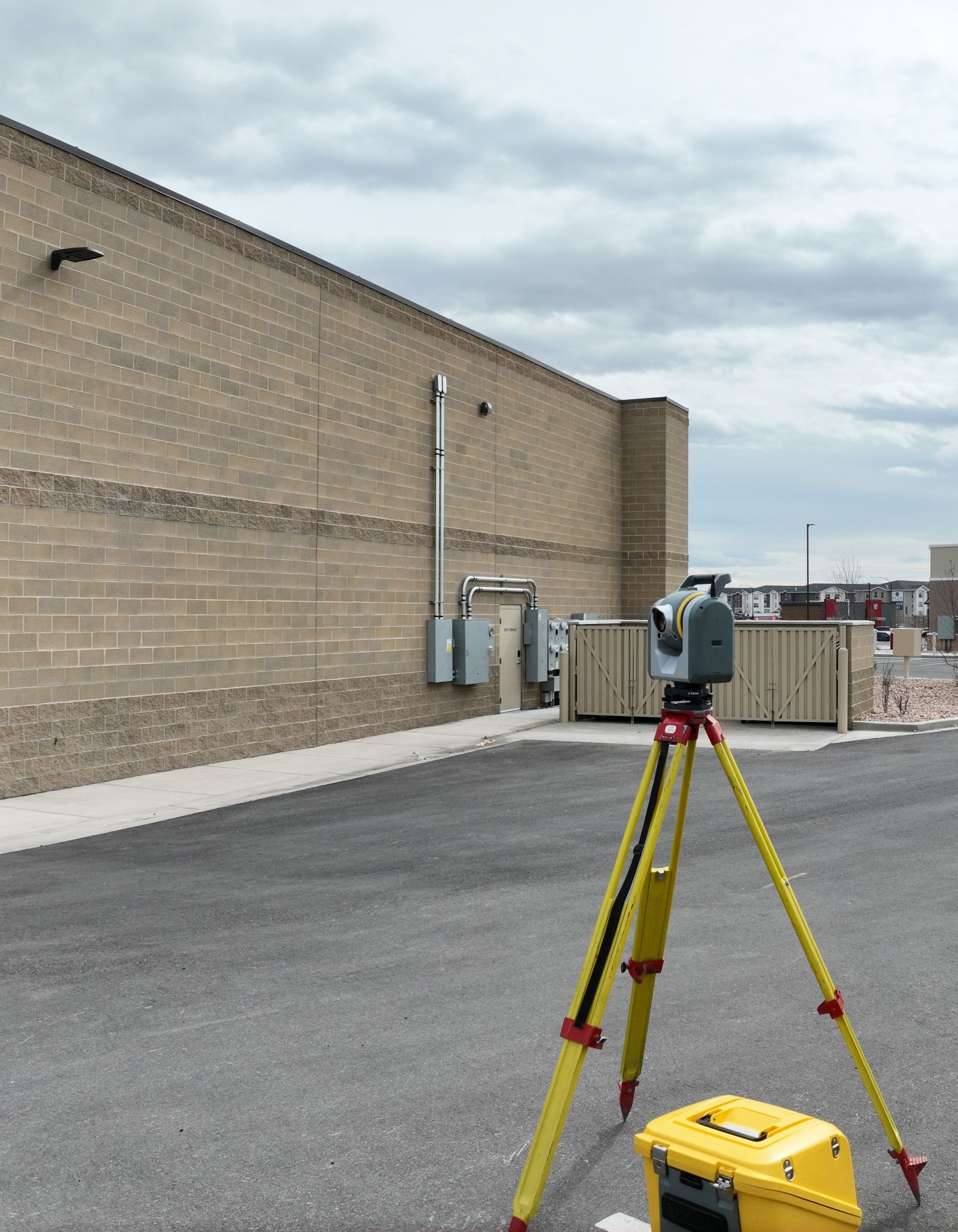
Accurate property line determinations for residential and commercial properties.
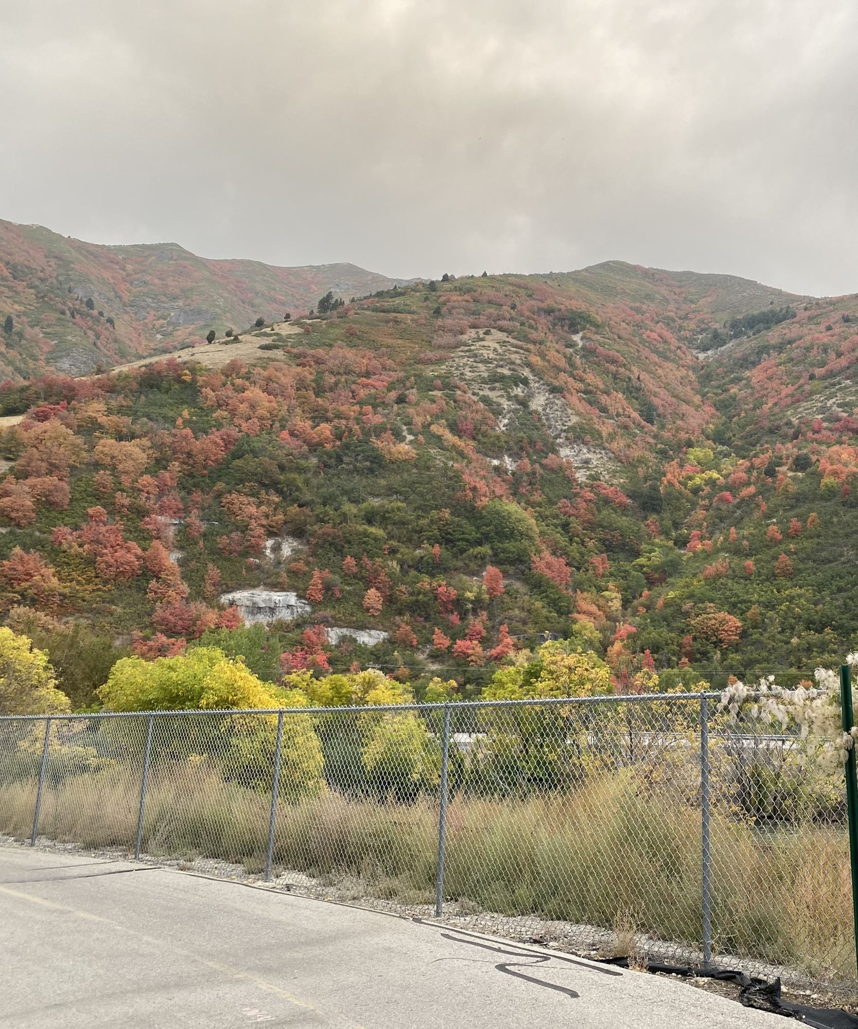
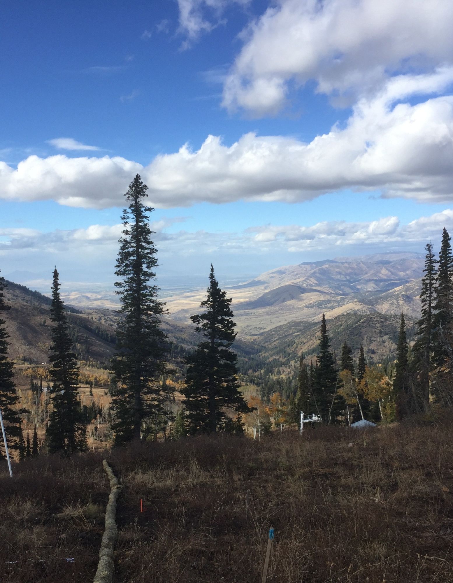
Detailed elevation mapping and terrain modeling for engineering and development planning.
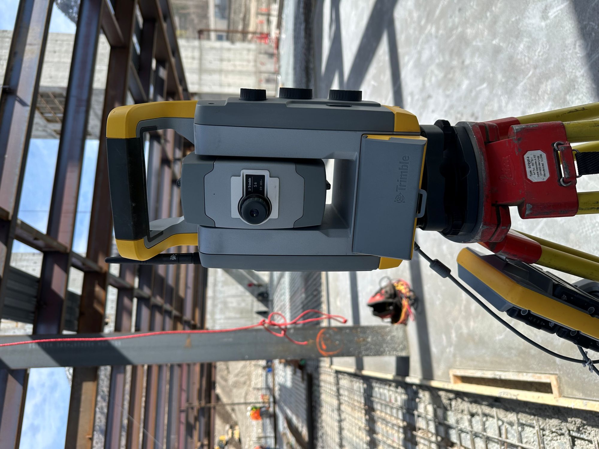
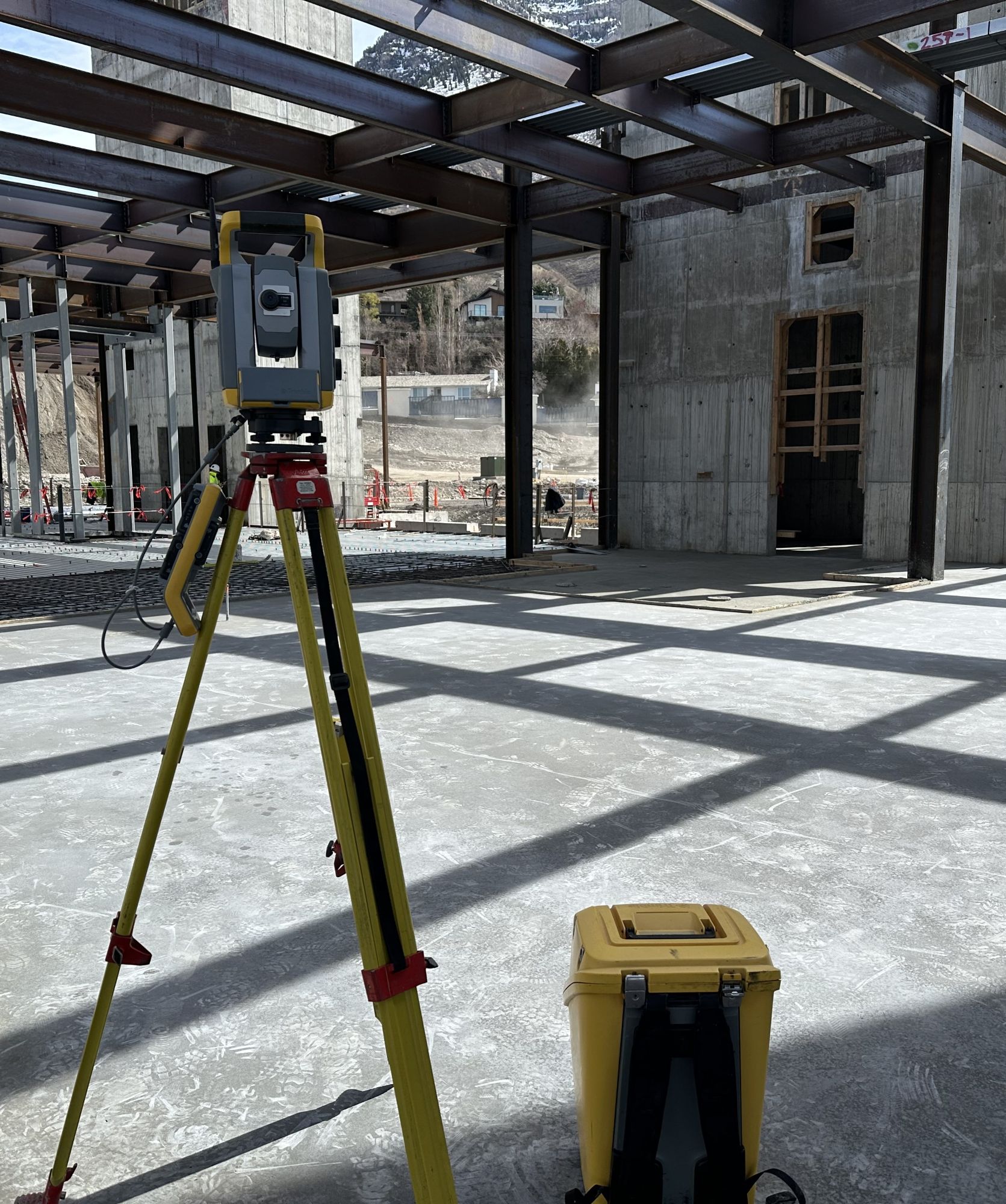
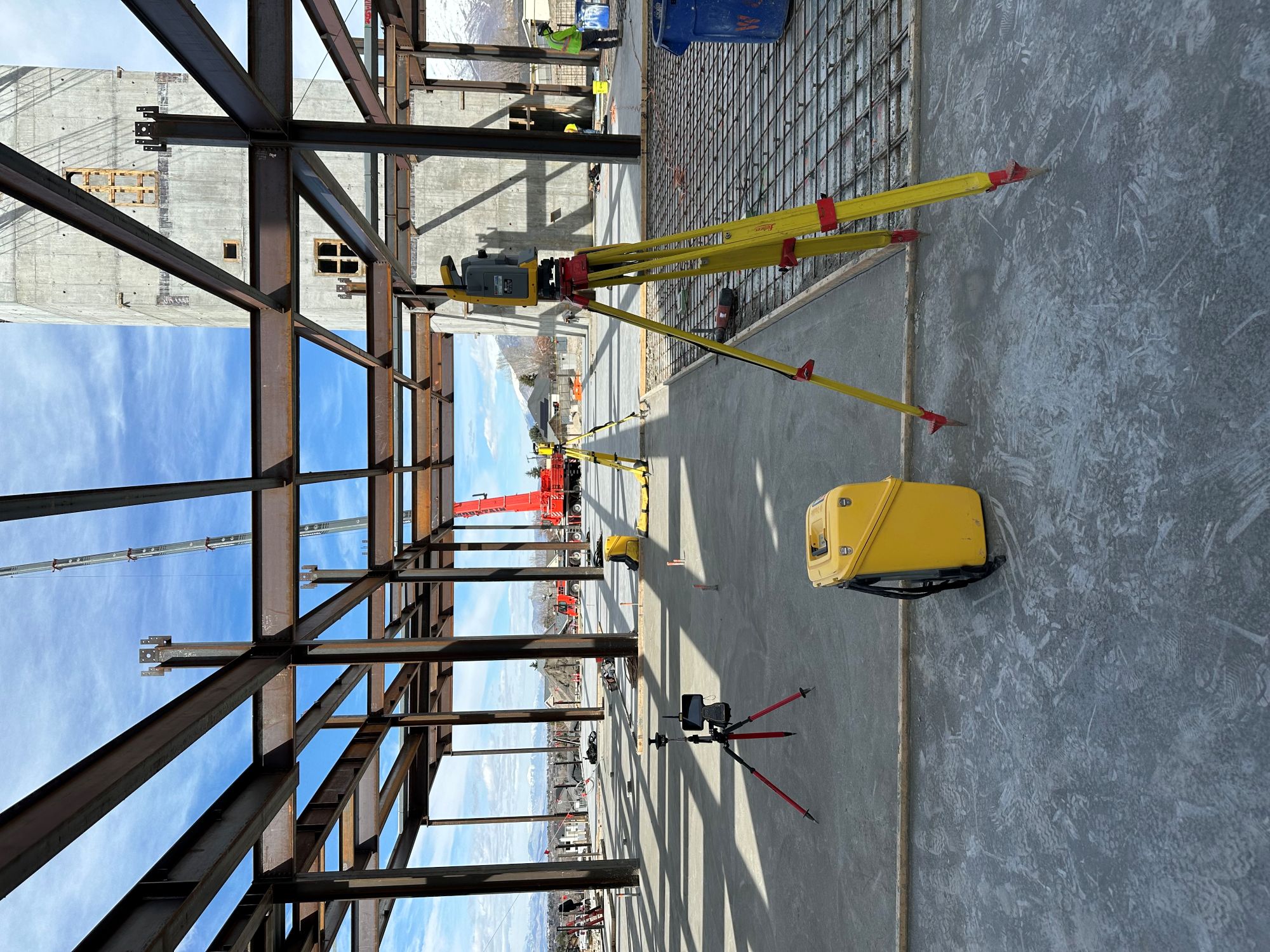
Precise layout services ensuring structures are built exactly according to engineering plans.
Drone-based imaging and mapping solutions for large-scale site analysis and modeling.
Detailed data-driven surveys providing measurable site metrics to support engineering analysis, land development, and planning.
Comprehensive surveying solutions for environmental studies, land resource management, and infrastructure planning.
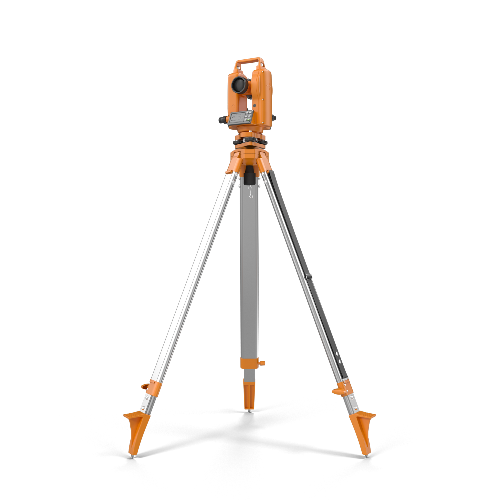
We utilize modern surveying instruments and data-driven solutions to ensure unmatched accuracy.
Our experienced team delivers dependable results backed by industry expertise.
Every project is executed with careful measurement and detailed validation.
We support your development timeline with efficient and accurate fieldwork.
Technical surveying documentation and expert support services for legal disputes, permitting conflicts, and land development litigation.

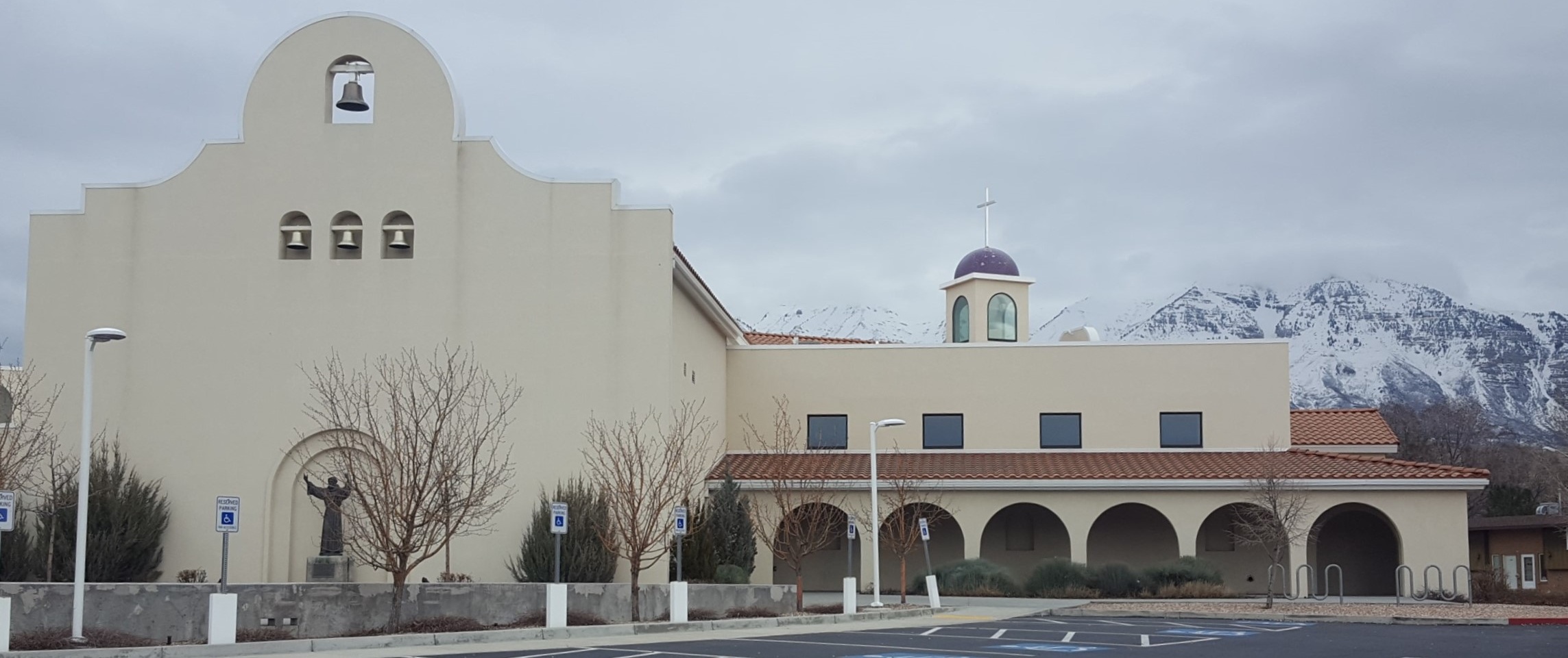
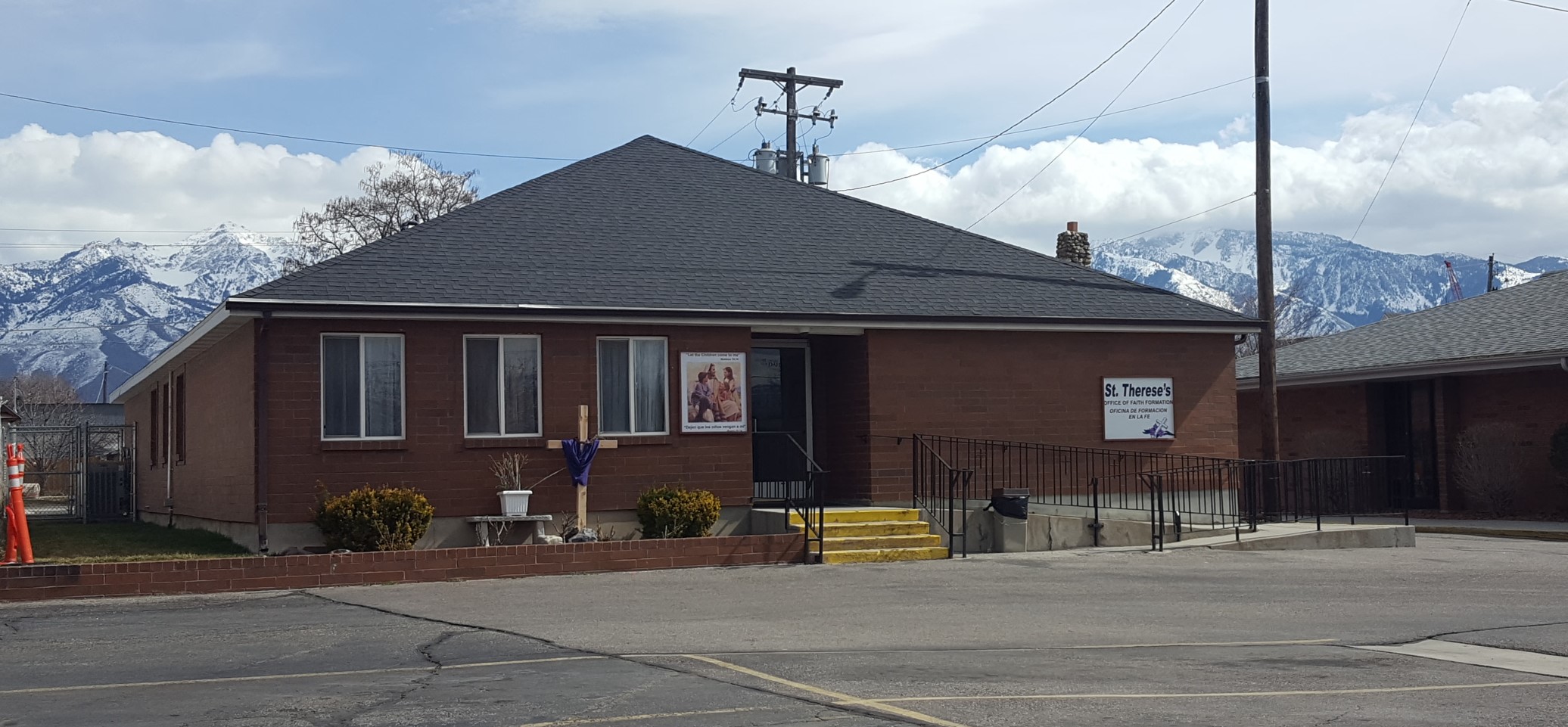
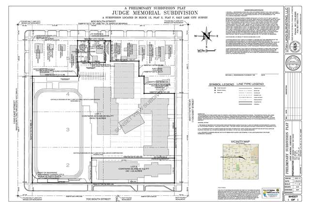
Comprehensive land surveying and preliminary subdivision planning for Judge Memorial Catholic High School in Salt Lake City. Scope included boundary verification, site layout analysis, parking configuration planning, and development compliance documentation.
Projects Completed
Customers Satisfied
Survey Points Collected
Years in Business
Mike was amazing to work with! He was extremely knowledgeable, professional, and took the time to explain everything clearly in a way that actually made sense. He communicated well throughout the process...
Mike is a fantastic surveyor with great attention to detail. It is clear he cares about providing a great service for his clients and goes above and beyond...
I have used ULS on multiple projects and have been very satisfied. Mike is professional and easy to work with. I know I can trust his work...
Mike is awesome to work with!!! He has done our work for years. Great attention to detail, prompt, and pleasant.
Mike provided a great service and I will recommend this company to others.
Excellent service and quality. Great detail in the field work and in drawings.
From municipal annexations to subdivision layouts, ULS provides precise platting documentation to support land development, permitting, and regulatory approval.
Whether you're planning a subdivision, resolving a boundary issue, or preparing development plats, our team is ready to deliver accurate, dependable surveying solutions.
ULS is fully licensed in Utah, Idaho, and Wyoming, FAA Part 107 certified, and actively affiliated with leading national and state surveying organizations.
Licensed through the Utah Division of Professional Licensing (DOPL).
Licensed under Idaho’s Division of Occupational & Professional Licensing.
Certified by the Wyoming Board of Professional Engineers & Land Surveyors.
Commercial drone pilot certification for aerial surveying and mapping.
Active member supporting professional standards and continuing education.
National affiliation reinforcing compliance with industry standards.
Common questions regarding boundary law, platting requirements, subdivision regulations, and professional surveying standards in Utah.
Land surveying in Utah is regulated by state licensure laws and national professional standards. Surveyors must comply with statutory requirements as well as nationally recognized accuracy guidelines.
A subdivision plat is required whenever land is divided into multiple lots for development or sale. Municipal planning departments require recorded plats prior to construction or conveyance.
An ALTA survey is a detailed commercial survey performed to national lender standards, while a boundary survey establishes property lines for ownership clarity. ALTA surveys follow specific Table A requirements adopted nationally.
Authority Sources: ALTA/NSPS Standards, NSPS
Annexation plats document the incorporation of property into a municipal boundary. They require coordination with city planning departments and compliance with state statutes.
Consolidation plats combine multiple parcels into a single legal lot. They require title coordination and municipal approval before recording.
Authority Sources: Utah County Recorder
Vacating a plat requires formal approval by governing authorities and recorded amendments. Rights-of-way and easements must be legally released or reallocated.
Licensed surveyors must comply with state licensure requirements and professional accountability standards. Many projects require proof of insurance before approval.
Authority Sources: Utah DOPL
From initial consultation to final documentation, ULS delivers accurate, dependable land surveying solutions designed to keep your project moving forward without delays.
Tell us about your property and project goals.
We evaluate scope, requirements, and regulatory needs.
Our team performs precise measurements and mapping.
Receive certified documents and finalized survey results.